Method
ResNet18 on 64 × 64 RGB images, compared with a simpler image-feature model.
RGB image→Land-cover class

APPLIED INTELLIGENCE / Satellite imagery
Land-cover classification and a view of model activations.
Local experiment case study
Explore results ↓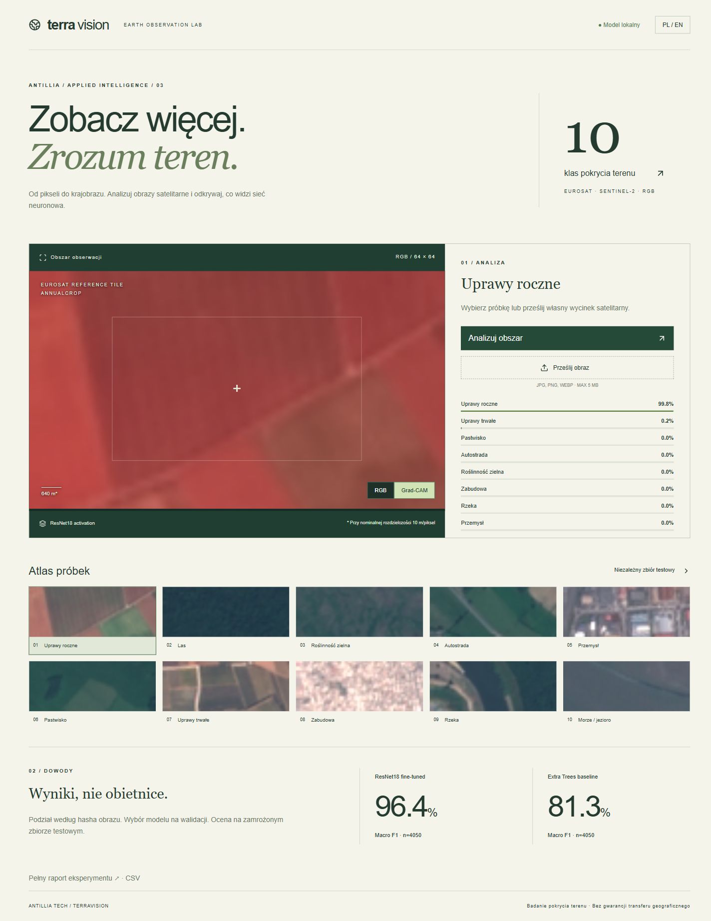
Recorded local application view. This image is not an interactive interface.
RESULT AND CONTEXT
ResNet18 on 64 × 64 RGB images, compared with a simpler image-feature model.
The test split is not a geographic holdout. Grad-CAM does not establish causality.
Results come from the project reports. This presentation does not include retraining or independent evaluation.
YOUR NEXT PROJECT